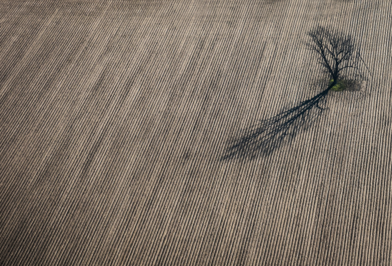
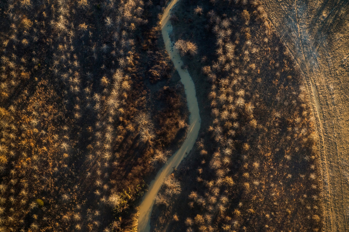
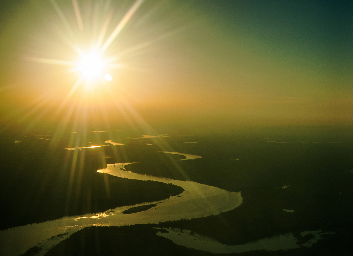
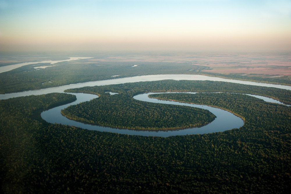
Viewed from the ground, the Mississippi Delta is striking for its flatness. The fertile soil produces stunning crops organized much like the perspective drawings I practiced as a beginning artist, with lines receding to a vanishing point. That is the Delta's iconic landscape — a tree line in the background with rows of crops fading into it.
My aerial photography project goes beyond the classic Delta image.
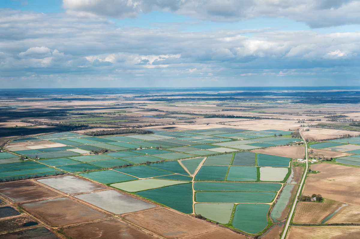
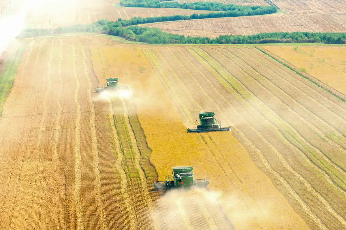
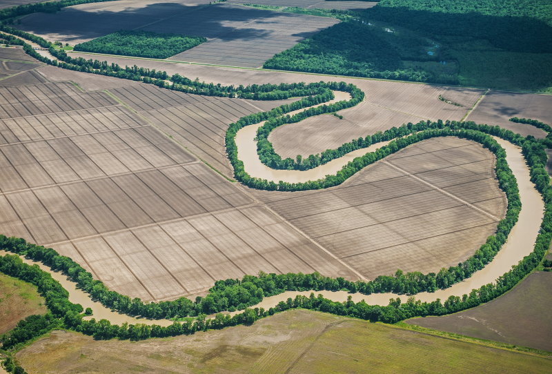
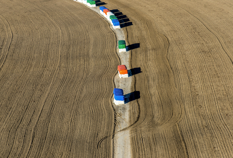
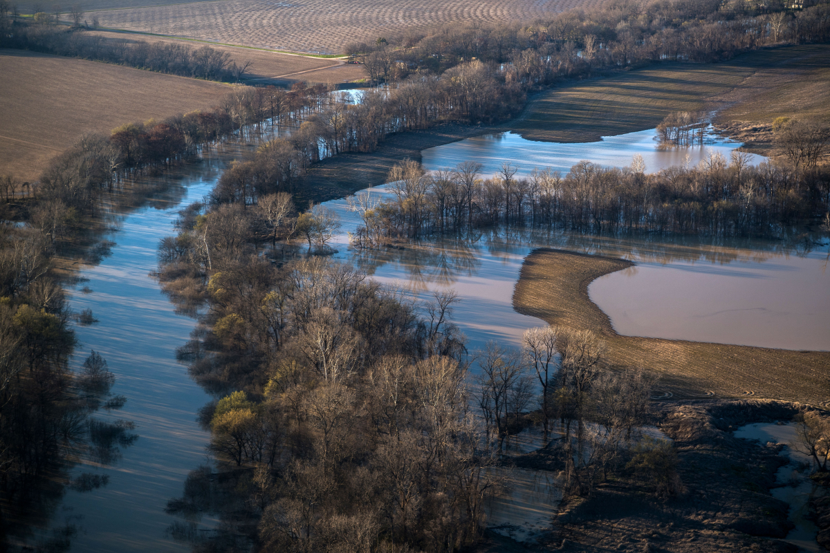
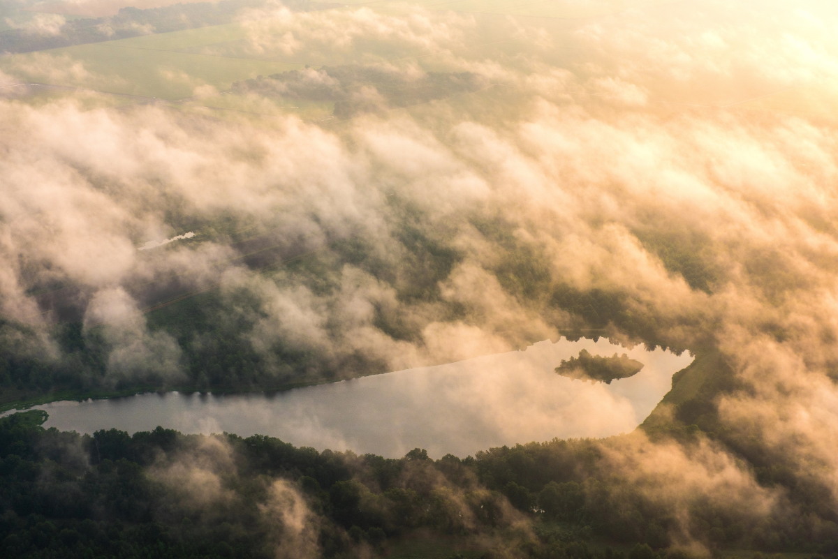
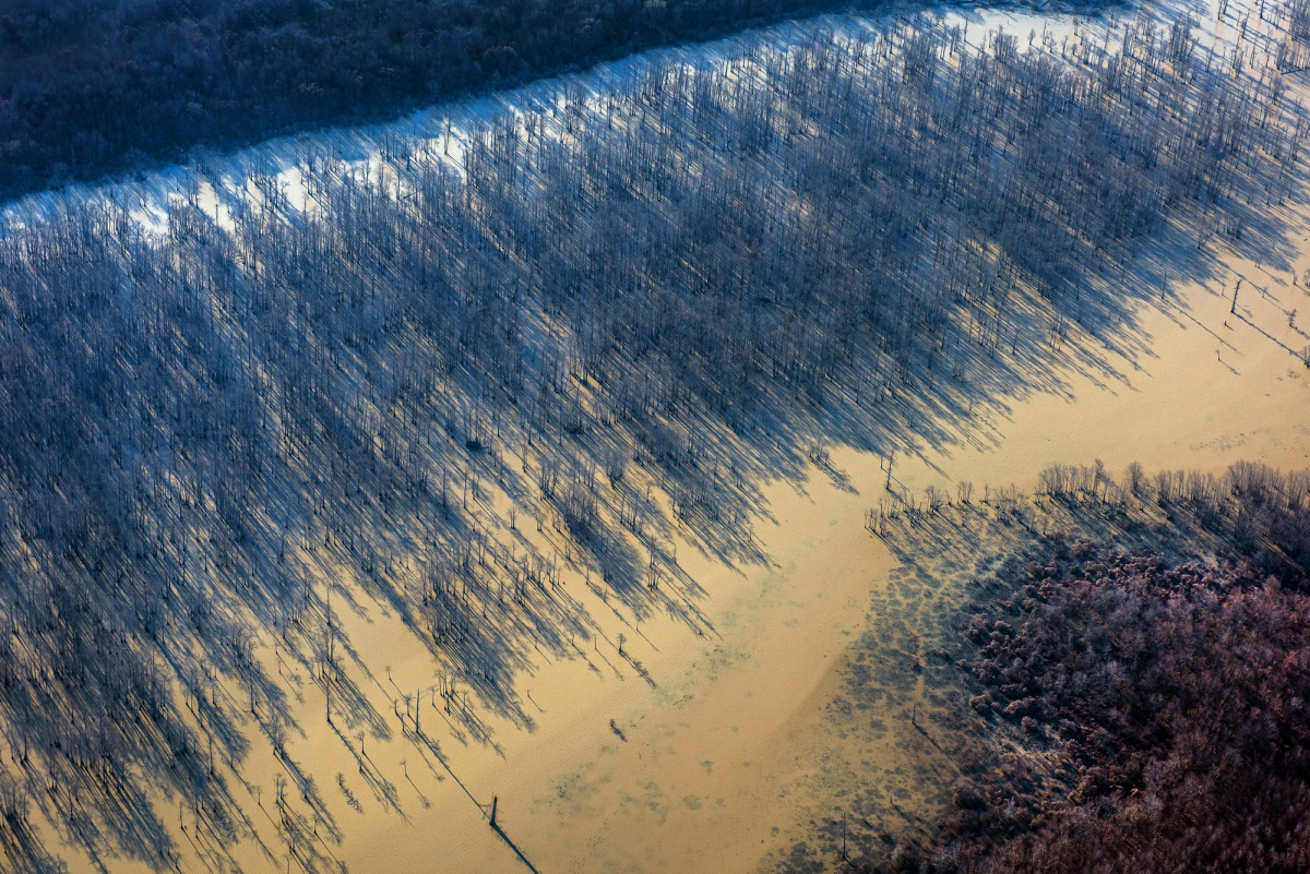
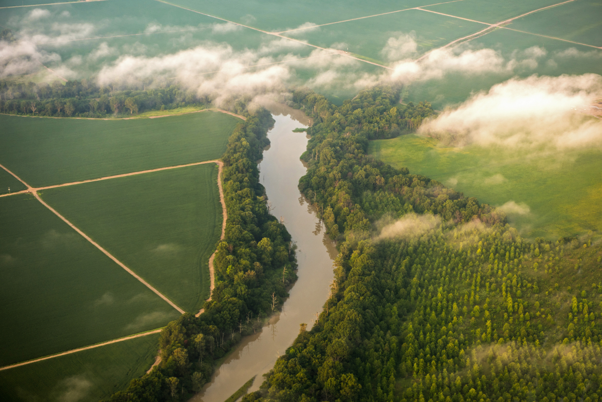
My love for the aerial perspective started because of a newspaper story I wrote and photographed about mosquito abatement spraying in Cleveland, Mississippi. The pilot offered me a seat in his plane, so I eagerly went up to see how it was done. From above, the Delta became so much more complex — those flat rows of trees became thick, curving tree lines along the edges of bogues and creeks.
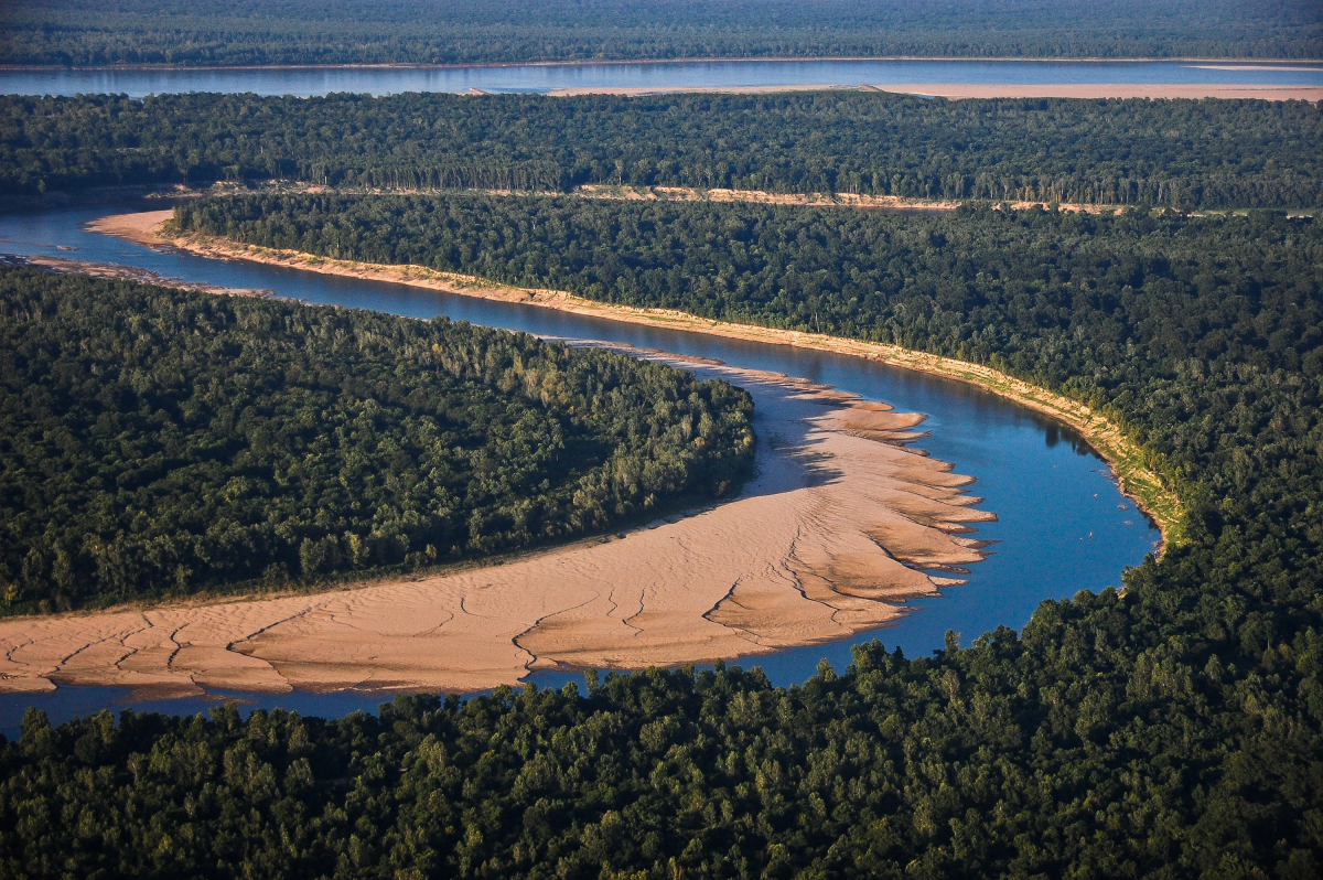

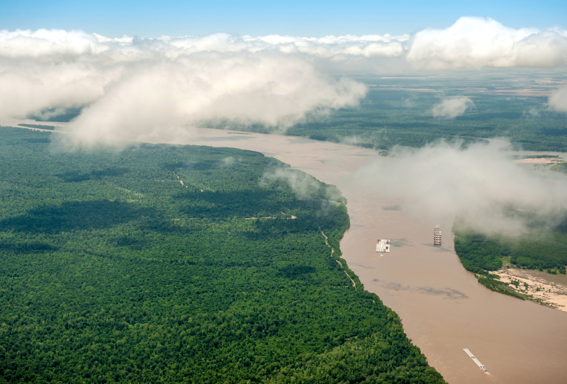
From above the Delta became so much more complex — those flat rows of trees became thick, curving tree lines along the edges of bogues and creeks.
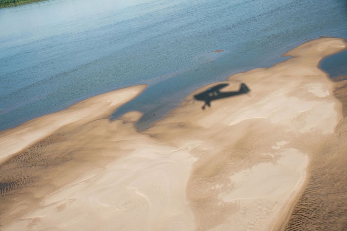
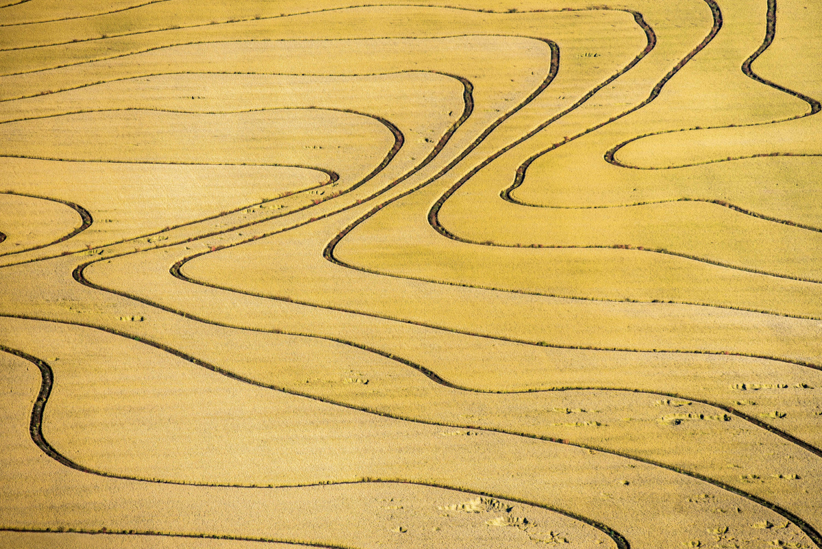
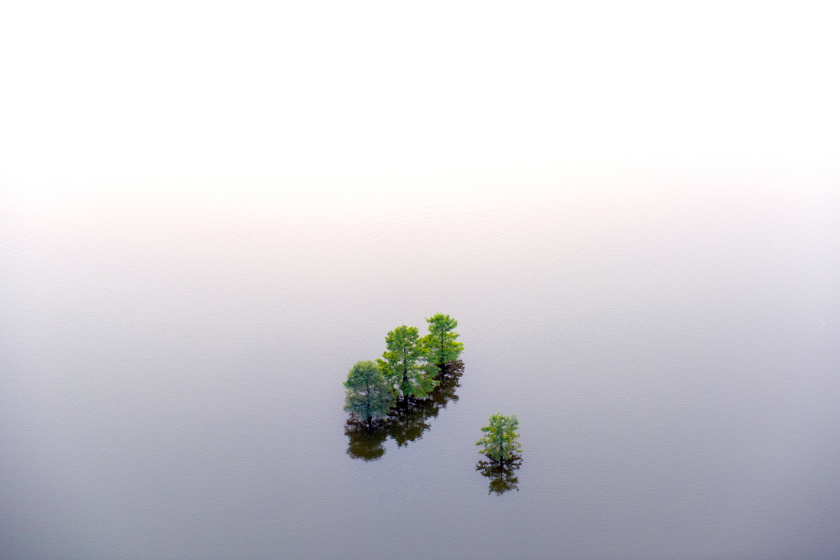
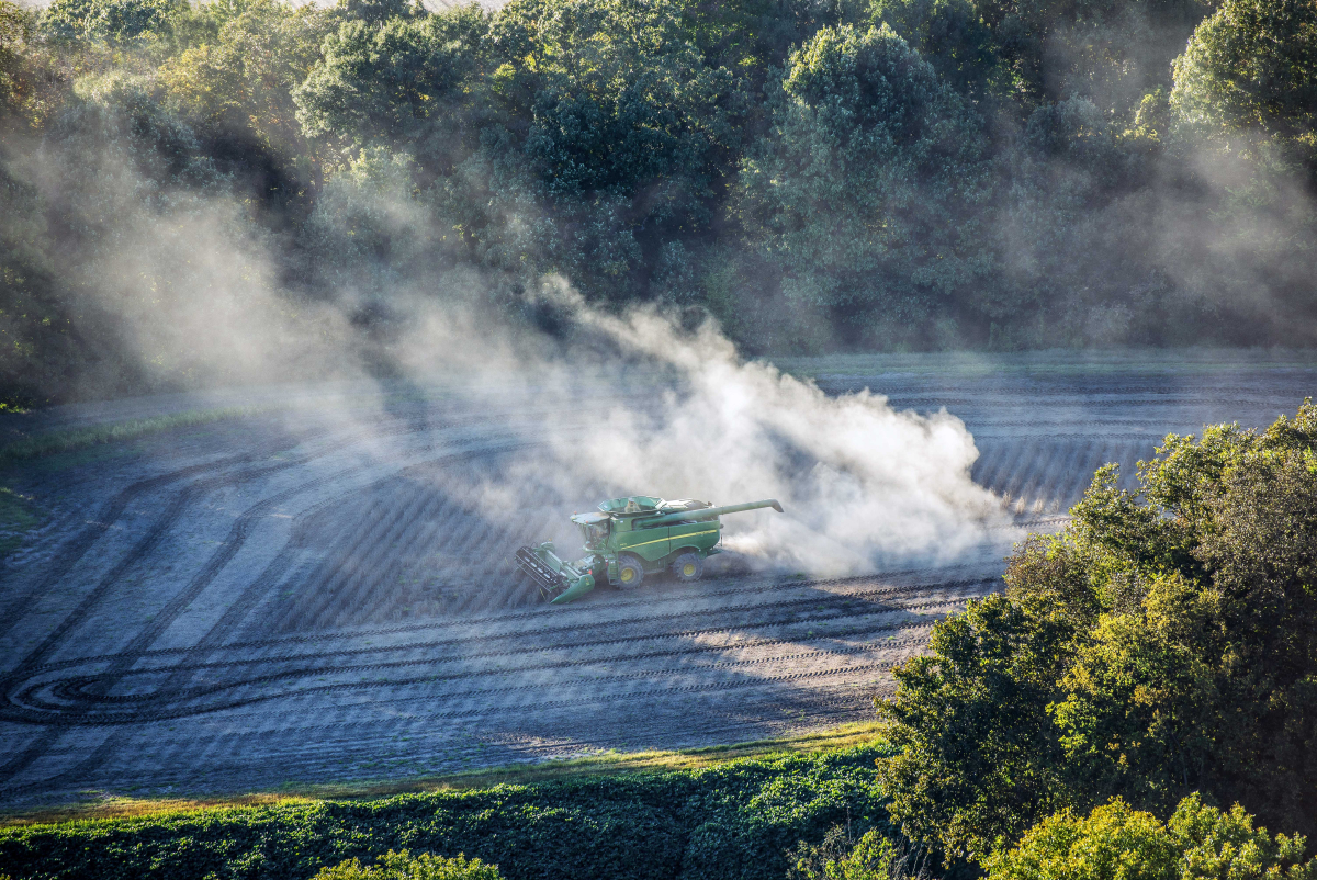
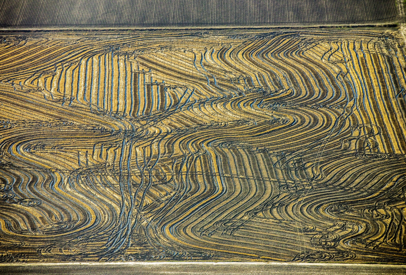
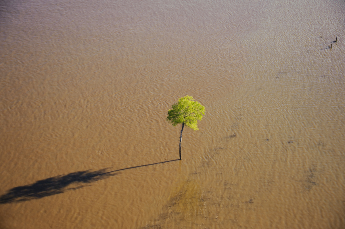
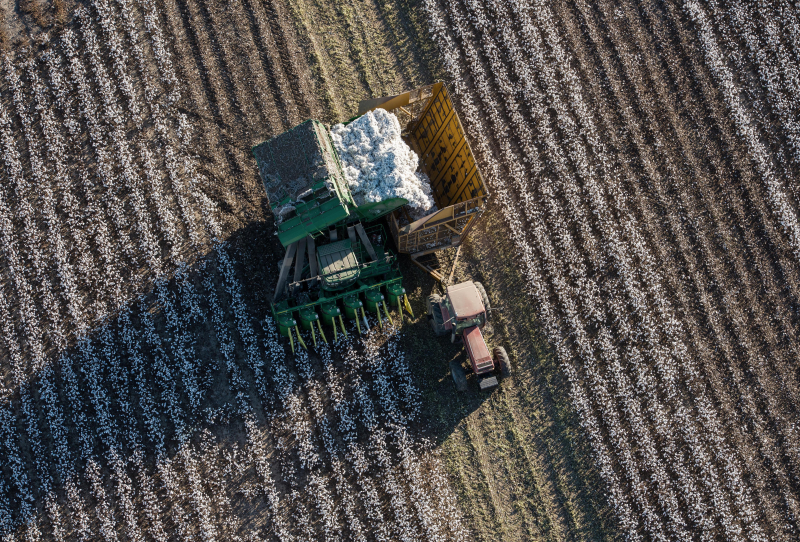
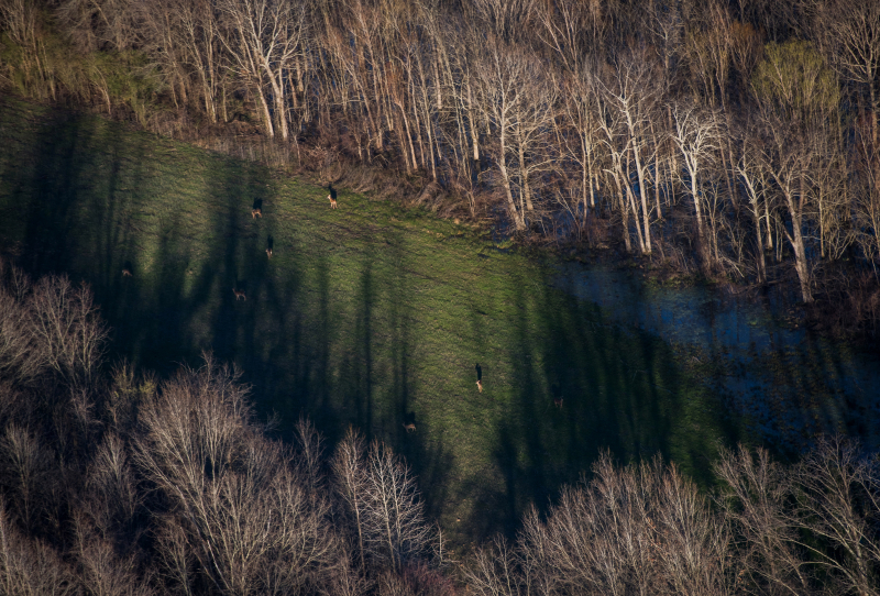
My aim with this ongoing project is to show that the region's landscape is neither a simply natural landscape nor man-made — it is both at once. It has been cleared, leveled, and planted, a fact that is legible in those uniform lines of crops. From above you see the curves in those rows dictated by the subtlest slopes in the land. On the highway, you might believe that the old river swamps are all but eradicated, but from the sky you see how much water still stands. We can live on this land, we change it and we shape it — but the land itself, and its own wildness, still persists.
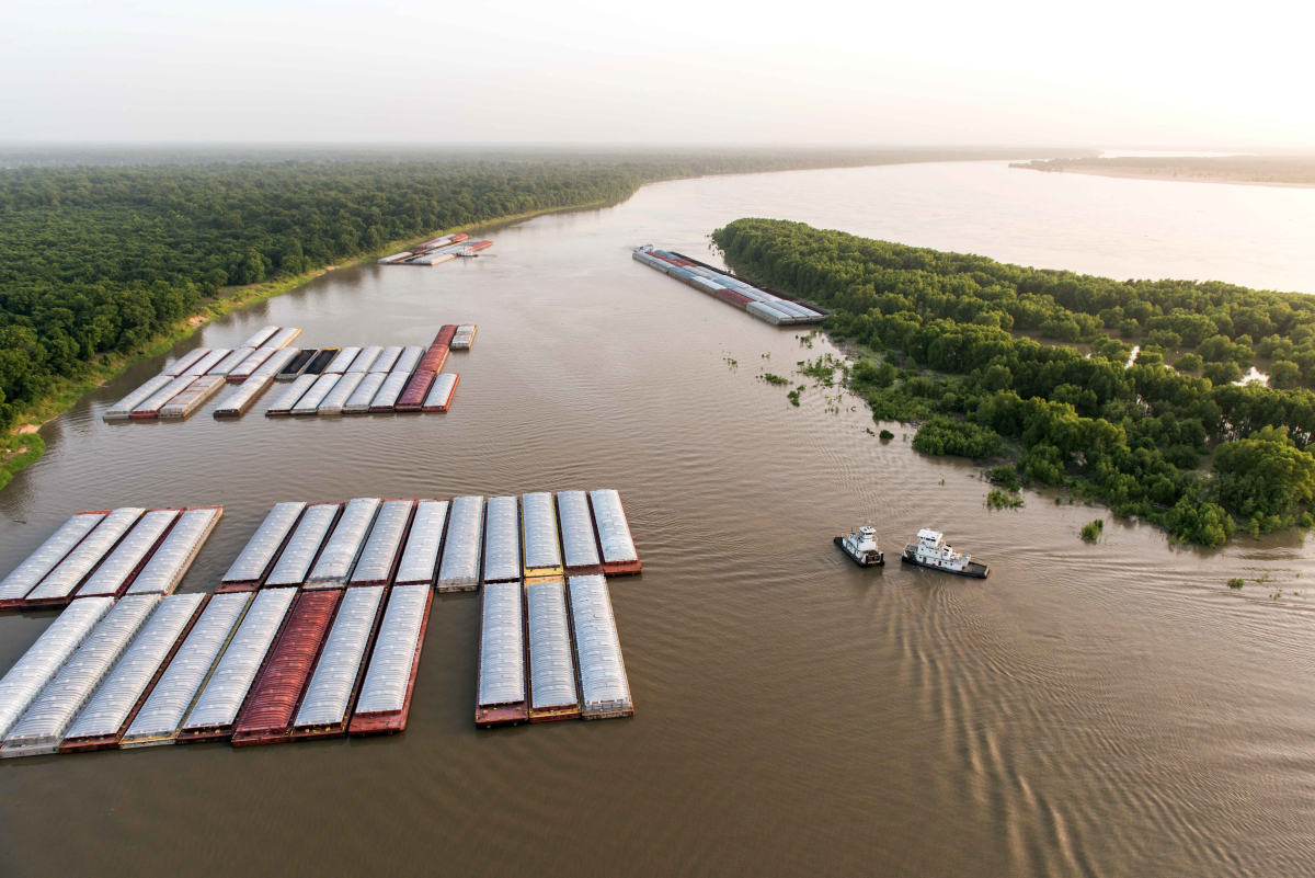
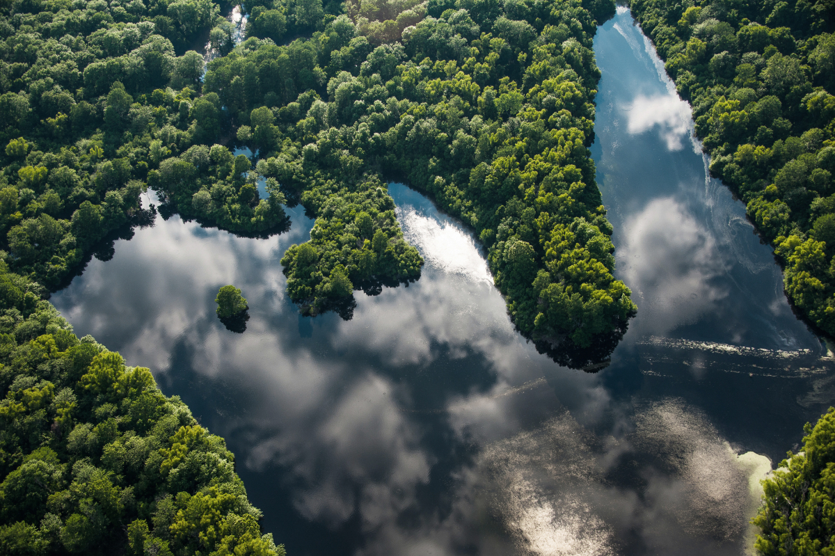
We can live on this land, we change it and we shape it — but the land itself, and its own wildness, still persists.
